There are 30 locks on the canal and the final two are on the canalised river Sarre although these days that section is also considered to be part of the Canal de la Sarre.
The locks are all Freycinet sized so provide access to 38.5 x 5.05 commercial péniches. They are operated automatically by the use of a télécommande or remote control unit that is dispensed from a machine at the first lock at either end and returned when the boaters reach their final lock (see picture gallery).
The locks are traffic light controlled and entry is only possible when the green light is showing. When a lock is being made ready both a red and green light is shown. If two red lights are showing then the lock is out of action and VNF, the canal authority, has to be contacted.
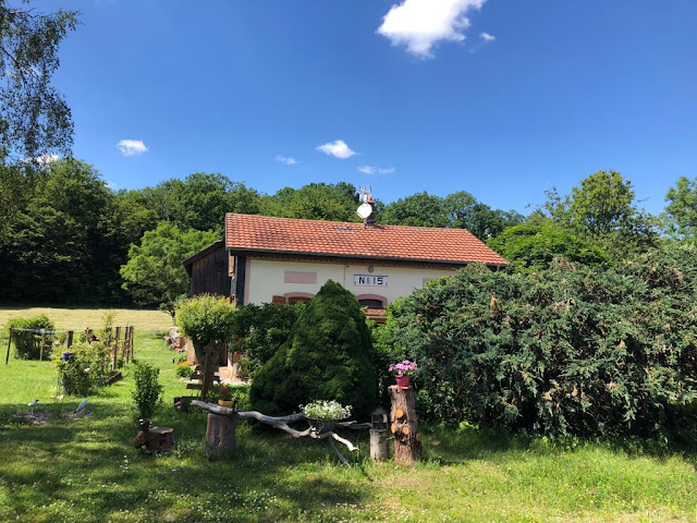
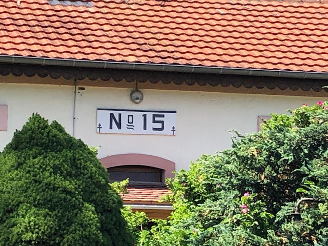
Cottages were built at each lock to house the lock keepers and many are still standing. The cottages are a good size and have a section at the rear that used to house horses and feed but most are now used for additional accommodation.
The Canal de la Sarre was opened in 1867 and was built to transport coal from the mines around Saarbrücken on the French-German border, to the towns in north-eastern France. Its original name was the Canal des Houillières de la Sarre because it ran from the coalmines of Saarland. For some reason the VNF website and its email alerts for stoppages and restrictions still use the original name. The canal is around 75km long from the junction with the Canal de la Marne au Rhin (eastern section) down to join the river Saar in Germany.
The following is taken from french-waterways.com:
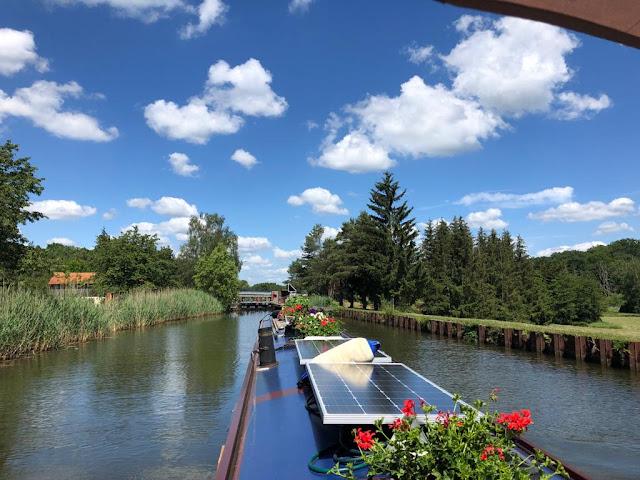
The Canal de la Sarre branches off from the Canal de la Marne au Rhin near Gondrexange (PK 227), and after cutting through a vast forest strewn with lakes, runs down the Sarre valley to enter the river at Sarreguemines. Navigation continues on the canalised river to the German border a short distance upstream of Saarbrücken. The canal is 63km long, and the French portion of the canalised river Sarre is 12km long, making a total of 75km. The canal was built to carry coal from the mines around Saarbrücken, hence its original name ‘Canal des Houillères de la Sarre’. The canal is rural in character and charming throughout. Through navigation down to the Moselle near Trier, 90km beyond Saarbrücken, is possible, thanks to canalisation of the Saar in Germany, making the industrial centre accessible to Rhine barges. This through route offers attractive possibilities for cruising, and Le Boat offers one-way cruises between its bases in Saarbrücken and on the Canal de la Marne au Rhin.
History – A private company was set up to build the canal in 1844, but was wound up before works could begin. The State took over the project and the works were started in 1861, to be completed in 1867. Although predating the ‘Freycinet’ programme by nearly 20 years, it was built directly to these generous dimensions, justified by the huge volume of coal to be exported from the Saar collieries in Germany, since the river Saar itself was unnavigable. (The Saar canalisation in Germany was completed in 1986.) Transfer from State to Region is under negotiation.
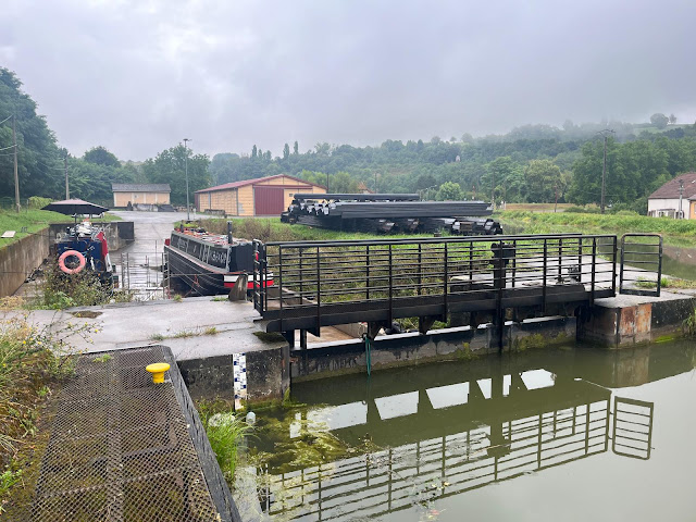
Houillon flood gates
Écluse 7 - Belles-Fôrets (2.678m)


.jpeg)


.jpeg)
.jpeg)


.jpeg)
.jpeg)
.jpeg)


.jpeg)
.jpeg)


.jpeg)
.jpeg)

.jpeg)

.jpeg)

.jpeg)

.jpeg)


.jpeg)
.jpeg)


.jpeg)
.jpeg)
.jpeg)


.jpeg)


.jpeg)


.jpeg)


.jpeg)


.jpeg)

