The navigable River Marne runs from Dizy in Champagne down to its confluence with the Seine in Paris. There is a branch near Dizy that also runs down to Epernay. At Dizy the Canal de l'Aisne à la Marne runs north to River Maine. At the same point The Canal Latéral à la Marne runs south east to Vitry-en-Francois where other canals head south and west.
Many cuts that were built to avoid large loops in the river and there are 19 locks and the sizes are as follows:
- Lock 18 - 125m long by 11.4m wide
- Lock 17 - 100m long by 11.4m wide
- Locks 1-16 - 45m long by 7.4m wide
Just before Créteil a 13km loop is cut off by a cut with a lock and a tunnel. The loop itself is still used for half its length by commercials down to some container ports. There is also a lock on this section which is also 125m long by 11.4m wide.
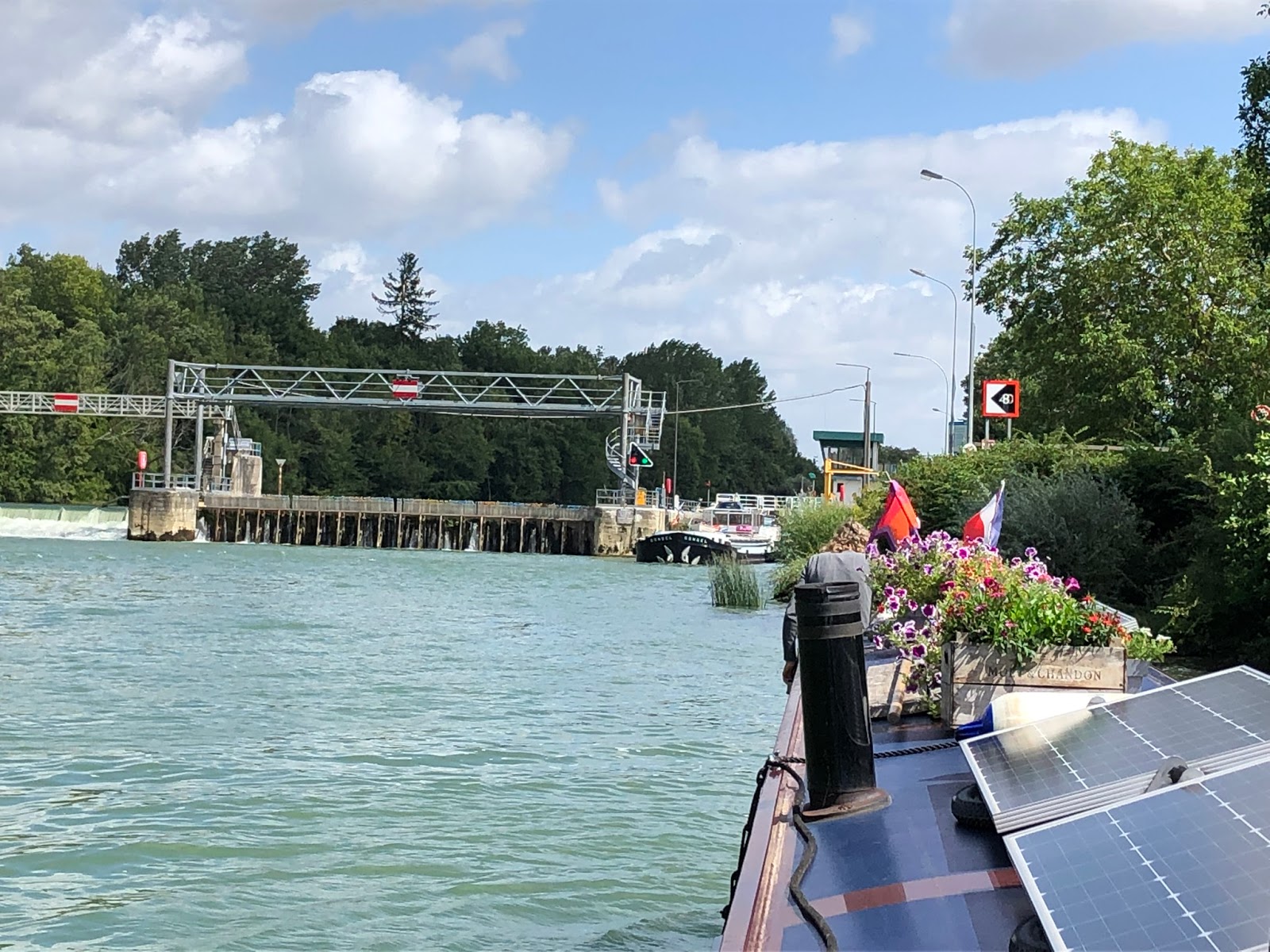
Locks 2-7 are operated by the boater using a remote control unit when about 400m from the lock entrances to set the operations in progress.

Once in the lock the operation to fill or empty is set in motion by pushing up on the blue rod set in the side of the lock wall.

Locks 8-18 are operated by permanent lock keepers operating in control towers. They are contacted by VHF short wave radio.
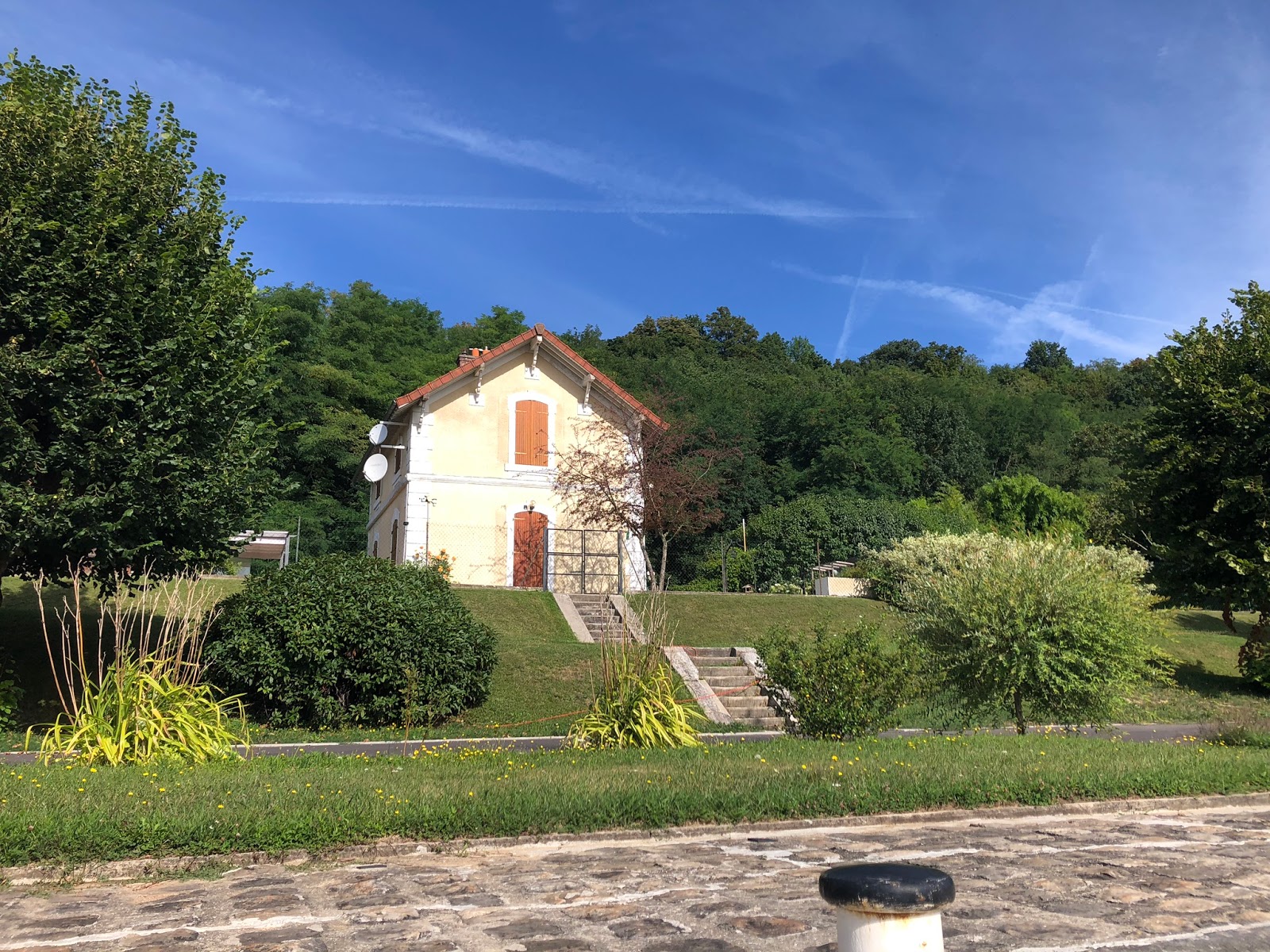
History: The Marne was a heavily navigated free-flowing river until the 19th century. However, it had one gated short cut, 500m long, the Canal de Cornillon in Meaux, which was built in 1235, possibly the oldest canal in France. The ‘modern’ canalisation was started in 1837, and inaugurated up to Épernay in 1867. It included a number of canals by-passing the more extravagant meanders. Locks are wider than the Freycinet gauge, but shorter than those of the Canal Saint-Denis in Paris, of similar width. The Marne remains in the national VNF network as a commercial navigation. For this reason we have indicated the average opening dates of the locks as 1/1/1850.
More information can be found on the River Marne by following this link here:
(visit link)


Écluse 1b - Châlons en Champagne (abandoned)


Écluse 8 - Méry (2.14m)


Écluse 9 - Coutaron (2.10m)


Écluse 10 - St Jean (2.06m)


Écluse 11 - Isles les Meldeuses (2.32m)


Écluse 11b - Basses Fermes (abandoned)


Écluse 12 - Meaux (0.37m)


Écluse 12b - Meaux (abandoned)


Écluse 13 - Lesches (3.20m)


No comments:
Post a Comment