The River Escaut runs from the Canal de Saint-Quentin at Cambrai in France at its southern end to the North Sea at Vlissingen in Holland. In France it has junctions with the Canal de la Sensée at Hordain, the Canal de Pommeroeul à Condé at Fresnes, the River Scarpe at Montagne-du-Nord and the Canal Nimy Blaton Péronnes at Hollain. In Belgium and Holland, where the river is known as the Scheldt, three main rivers feed into it: the Dender, the Durme, and the Rupel.
The locks on the river are built to two different sizes. Those on the upper section from Cambrai down to Pont Malin (locks 1 to 5) are 44m x 5.2m. From Pont Malin into Belgium and through Holland the locks are 143m x 11.4m.
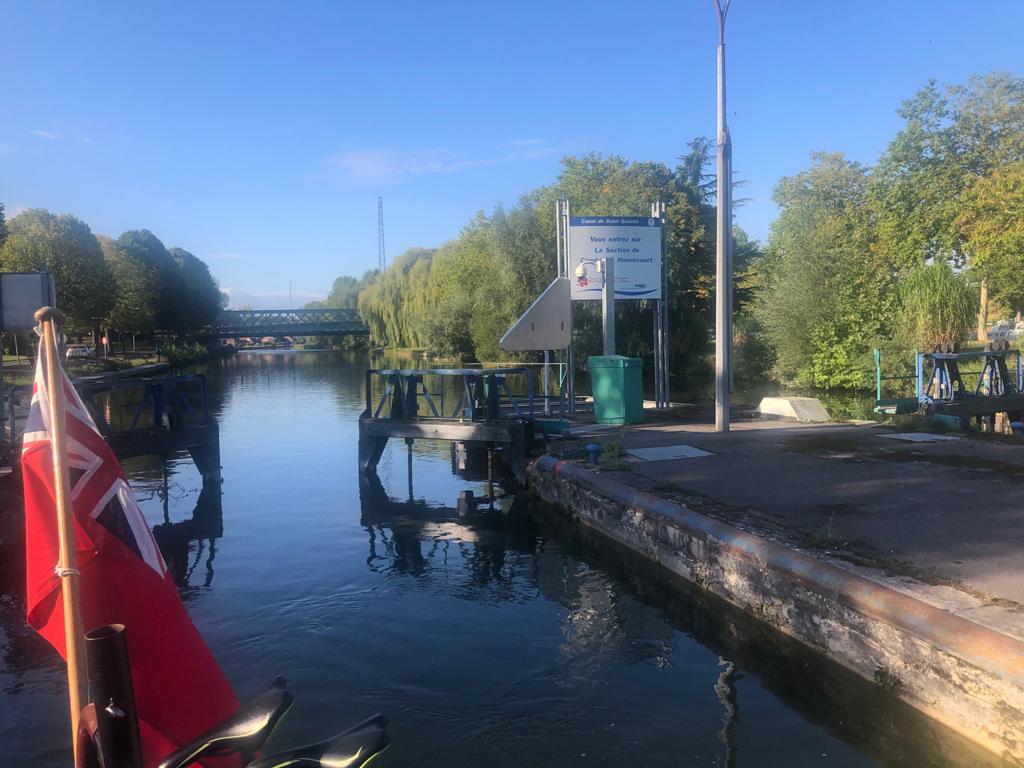
Boaters operate the locks on the upper section by using a télécommande or remote control unit. The unit is used to set the lock from a point about 100 metres away. A traffic light system is in place: flashing orange means the lock has received the request to operate, red and green means lock being got ready, green means it is safe to enter, two reds mean lock is out of operation. Once inside the lock, the boater pulls on a blue rod to close the gates and start the sluices.
The locks on the lower section are operated by calling a control centre on VHF radio.
The following is taken from frenchwaterways.com:
The canalized river Escaut begins at Cambrai, where it connects with the Canal de Saint-Quentin, and runs through the industrial towns of Denain and Valenciennes before crossing the Belgian border at Mortagne, a distance of 59km. The river subsequently flows past Ghent and Antwerp before debouching in the North Sea. (In Dutch, Escaut becomes Schelde).
The river has always carried heavy barge traffic, since it forms part of the route from the Paris region to Northern France, Belgium and the Netherlands, and its importance as a commercial waterway increased after it was widened to European waterway standards (1350-tonne barges) from its junction with the Dunkerque-Escaut waterway to the Belgian border.
The Escaut connects with the Canal de Pommeroeul à Condé (replacing the former Canal de Mons à Condé) on the right bank at km 31.6 (although this useful link has been closed since only a few years after it was built in the late 1970s) and with the canalised river Scarpe on the left bank at km 44.4 (also currently closed to through navigation).
The straightening of the river left numerous minor arms, most of which were subsequently filled in. Despite its importance for commercial navigation, the Escaut is an attractive waterway. Many of the factories which used to line its banks have been demolished, and the river is pleasantly rural throughout much of its length.
History – The Escaut was developed first in Belgium from Antwerp to Tournai, then extended to Valenciennes. Canalisation upstream from Valenciennes to Cambrai was completed in 1788 with locks 44 by 5.20m and a draught of 1.20m. Napoleon saw the benefits of linking Paris to Belgium and promoted the Canal de Saint-Quentin to the south. The locks were deepened and doubled, as coal became the essential commodity of the industrial revolution. Upgrading downstream from Bouchain was started in the 1960s, but the waterway is still not fully compliant with international standards. For many centuries, Belgian traffic from Mons to Tournai used the Haine and Escaut rivers through France, paying a high toll, hence the idea of the Nimy-Blaton-Péronnes canal, a short cut in Belgian territory, built in the late 19th century.
Écluse 1 Cantimpre (1.72m)


Écluse 2 Selles (1.75m)


Écluse 3 Erre (2.23m)


Écluse 4 Thun l'Évêque (2.57m)


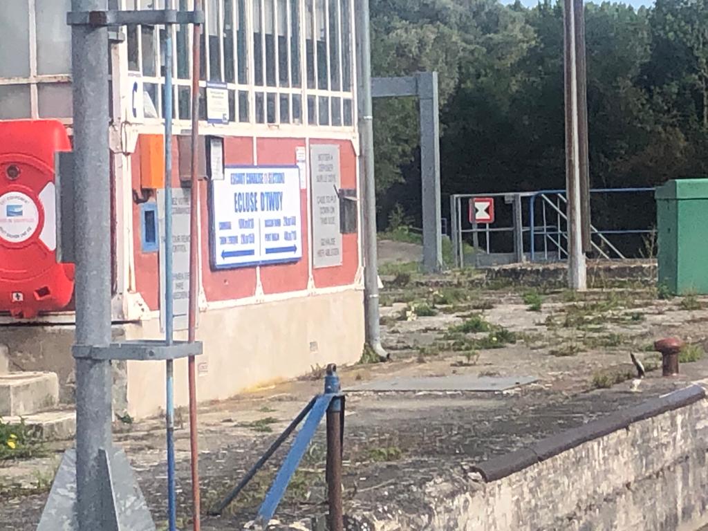
Écluse 5 Iwuy (2.50m)


No comments:
Post a Comment